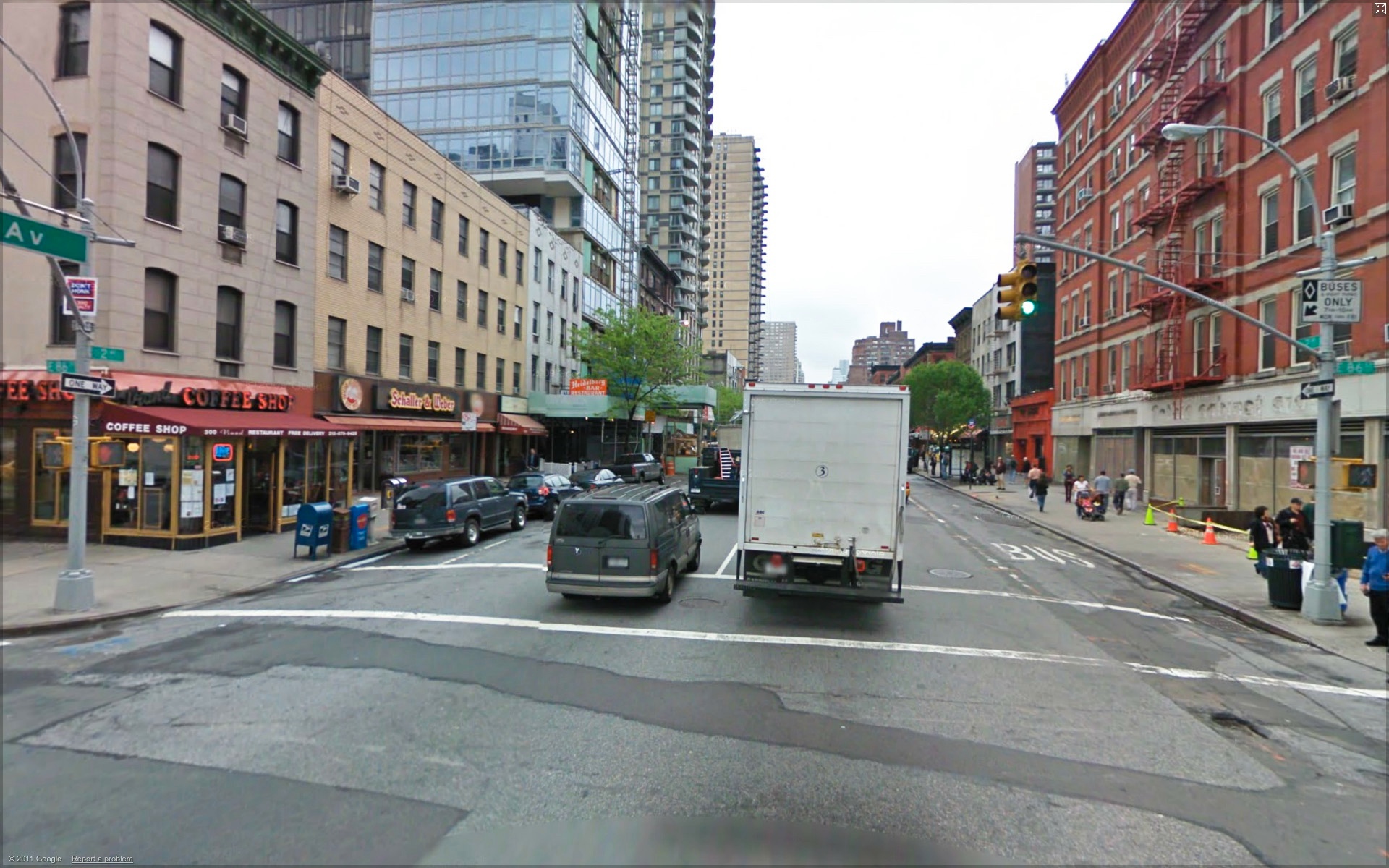
SINCE the early 20th century, New York City has taken street space away from people and devoted it to moving traffic in and out of the city. But in the 21st century, we’re beginning to remake the streets as places where people want to get out of their cars to walk and bike. Conceptually, if only rarely functionally, we have Slow Zones and Slow Streets. We need a Slow City, with more streets for people.

-

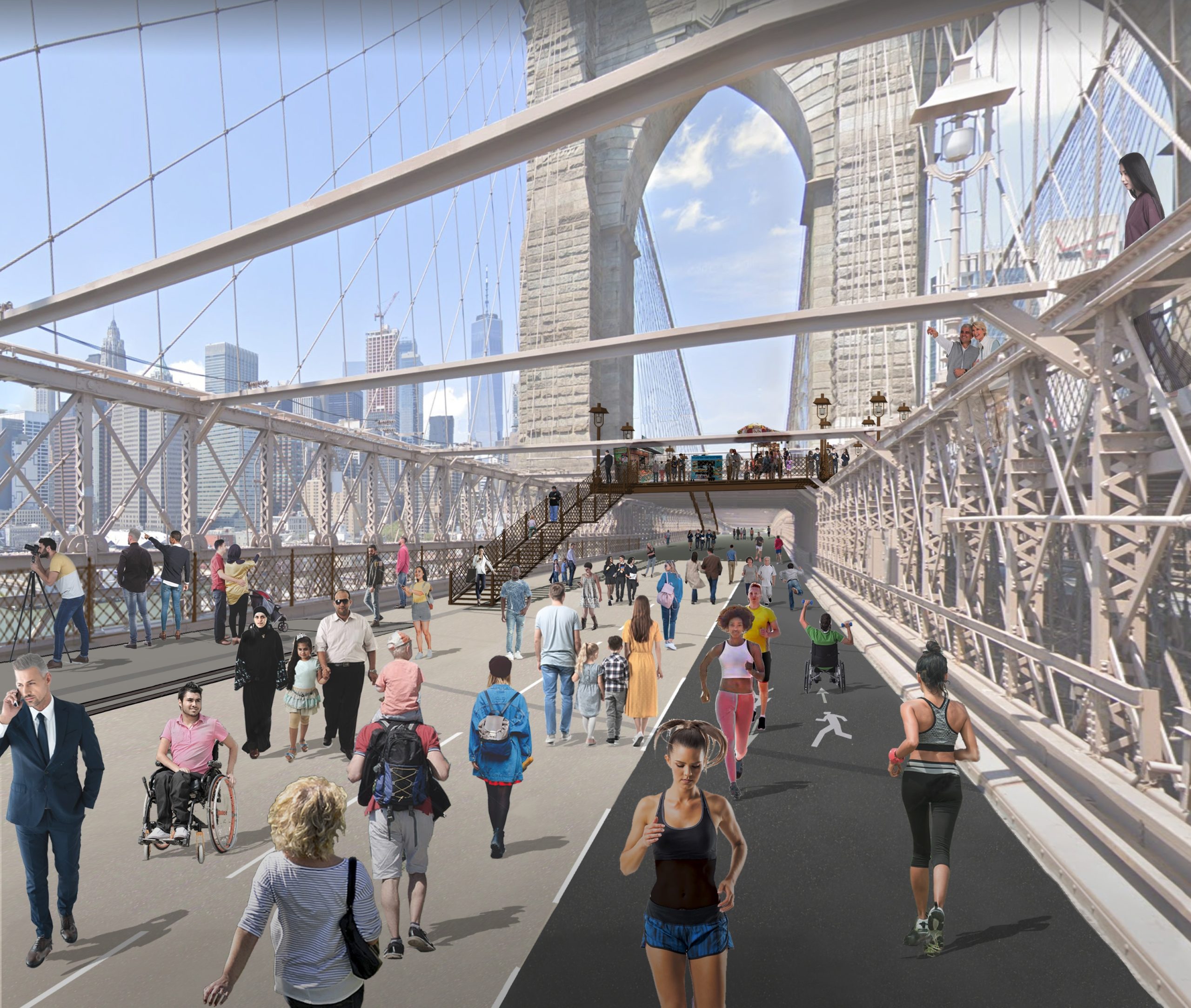
- Looking east towards Brooklyn Bridge from City Hall Plaza, Manhattan.
-

- Looking west towards Brooklyn Bridge from Downtown Brooklyn.
Scroll Down for Slow New York Articles
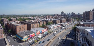
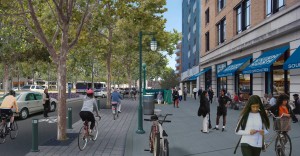
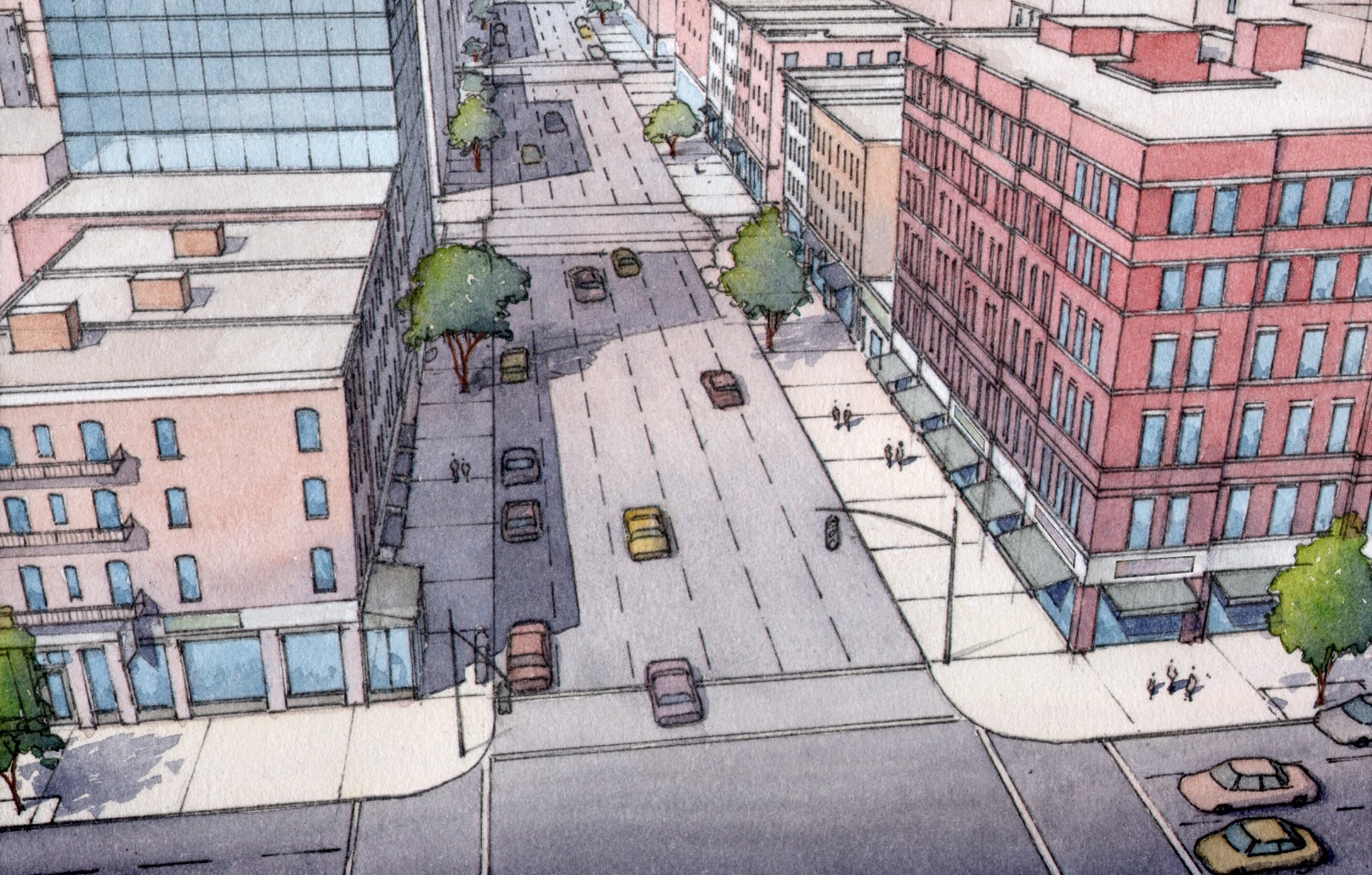
Queens Boulevard – Transportation Alternatives


-

- AFTER: Queens Boulevard, Queens, New York. Aerial view looking south from 68th Avenue. © 2014 Massengale & Co LLC and UrbanAdvantage, for Transportation Alternatives.
-
- BEFORE: Queens Boulevard, Queens, New York. Aerial view looking south from 68th Avenue. © 2014 Massengale & Col LLC and TransportationAlternatives.
-
- AFTER: Queens Boulevard, Queens, New York. Looking south from between 67th Drive and 68th Avenue. © 2014 Massengale & Co LLC and UrbanAdvantage, for Transportation Alternatives.
-

- BEFORE: Queens Boulevard, Queens, New York. Looking south from between 67th Drive and 68th Avenue. © 2014 Massengale & Co LLC and Transportation Alternatives.
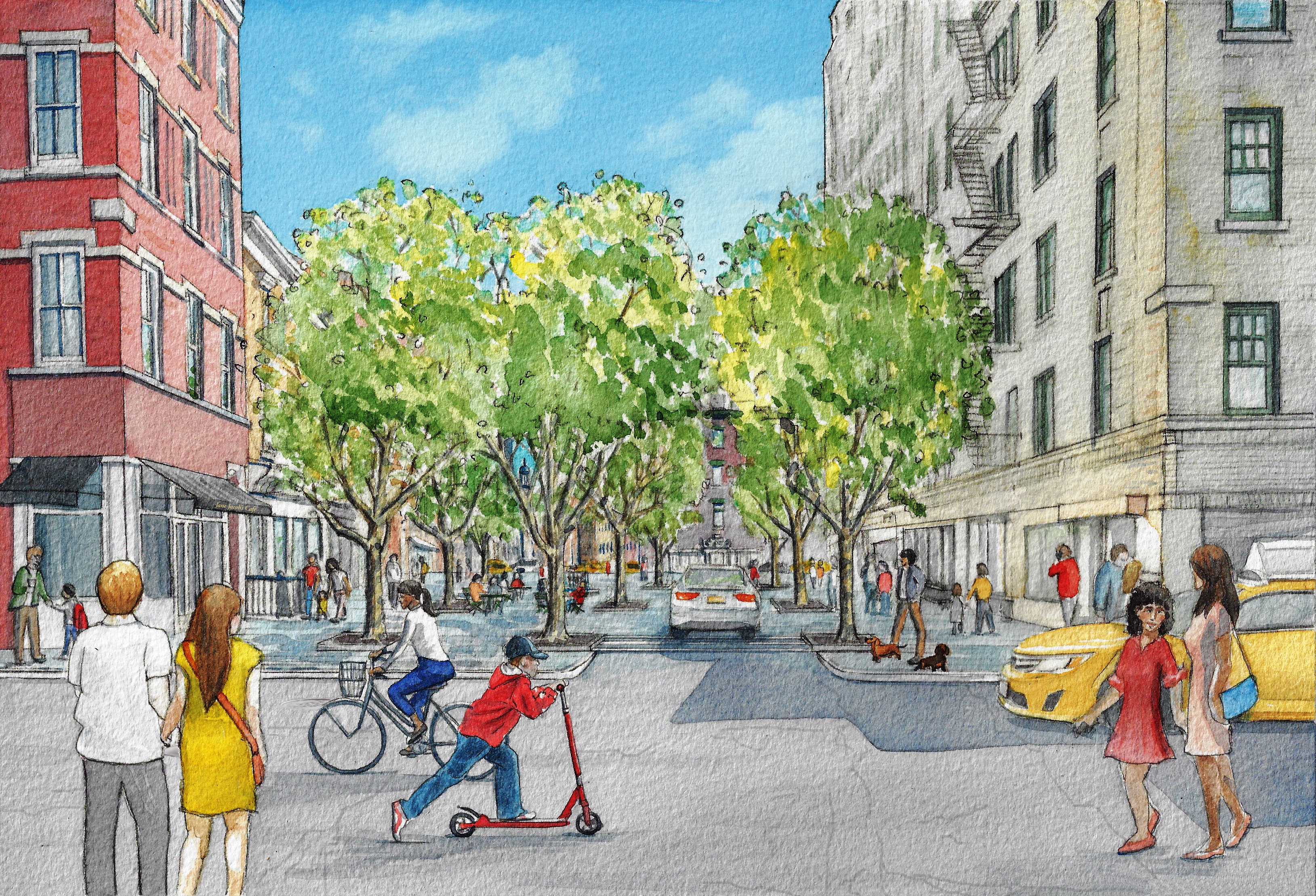
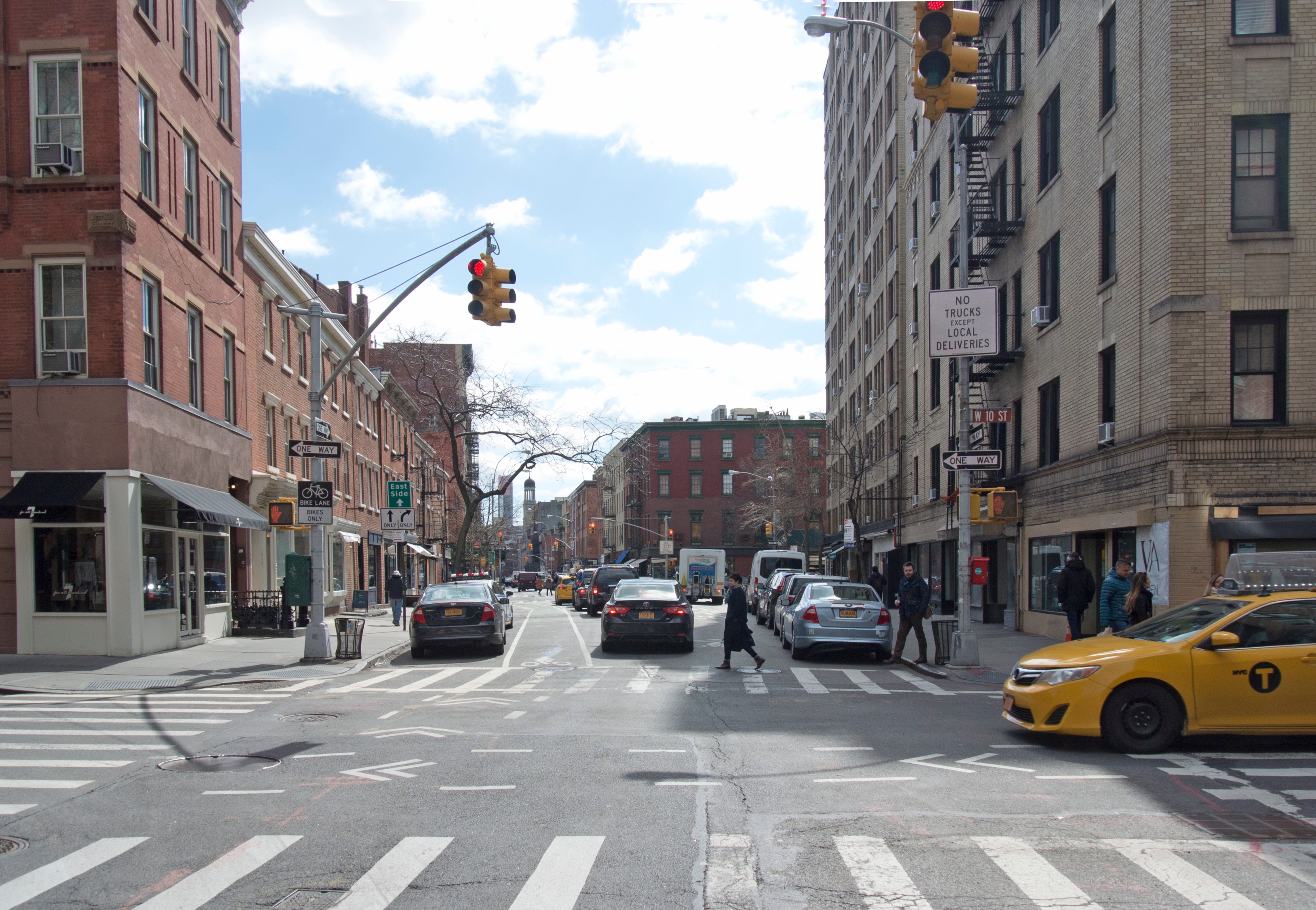
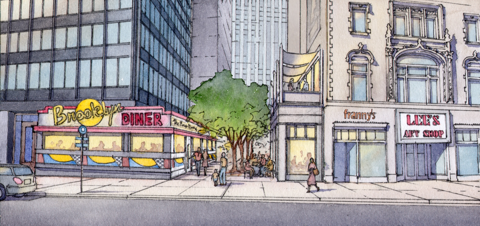
Jane Jacobs Square
-

- BEFORE: Jane Jacobs Square, New York, New York. An aerial view looking south. © Massengale & Co LLC and Dover, Kohl & Partners, Rendering by James Dougherty.
-

- AFTER: Jane Jacobs Square, New York, New York. An aerial view looking south. © Massengale & Co LLC and Dover, Kohl & Partners, Rendering by James Dougherty.
Yorkville Promenade

Winslow Homer Walk
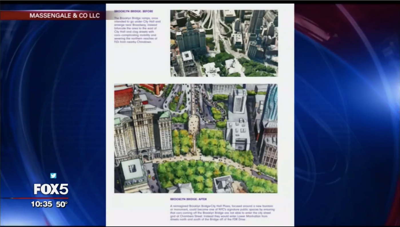
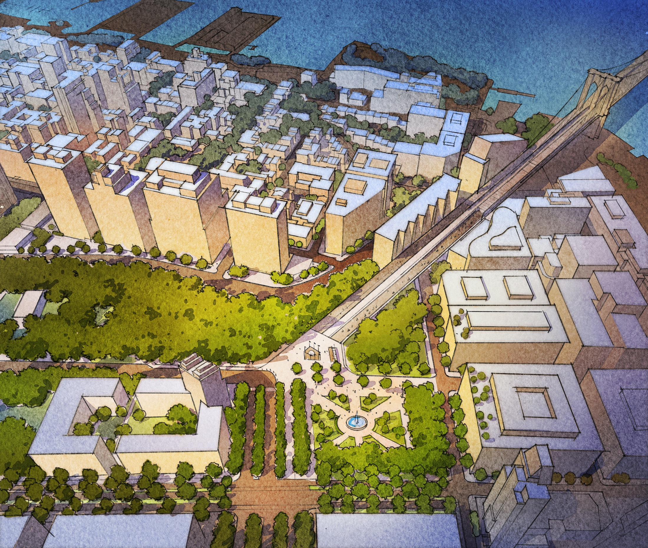
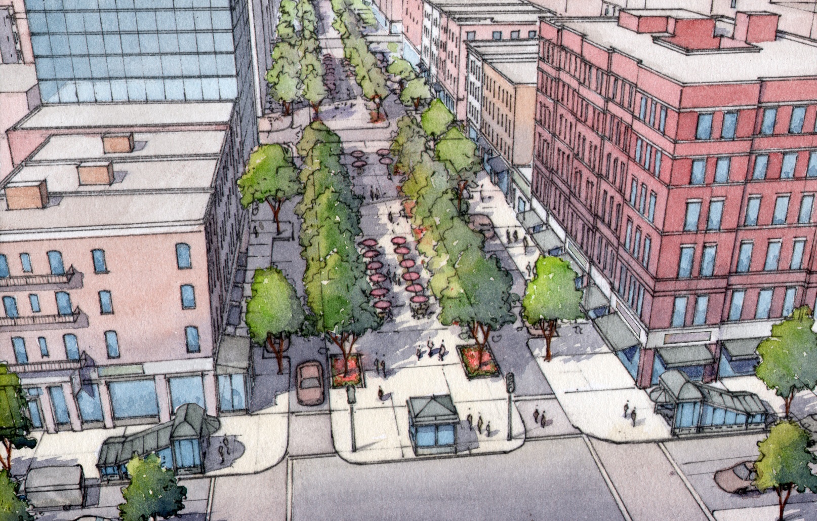
Financial District Neighborhood Association District Plan (FDNA): “Make Way for Lower Manhattan”
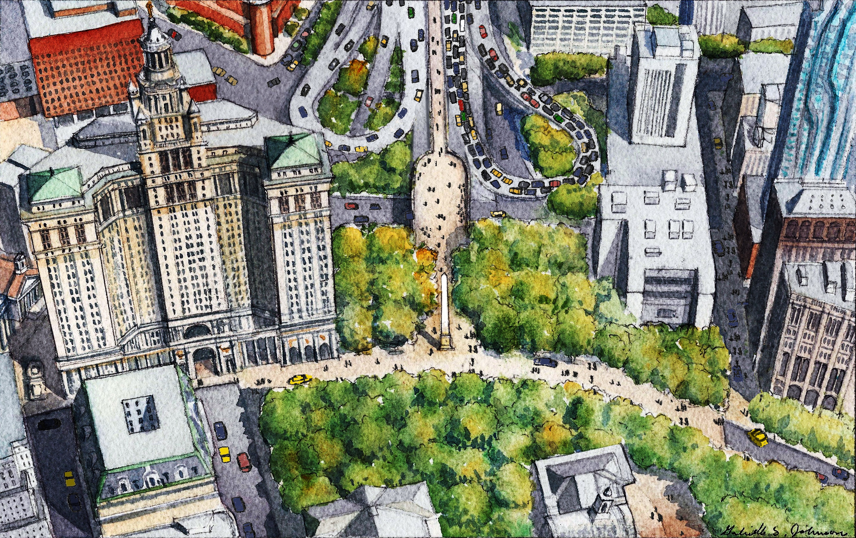
-
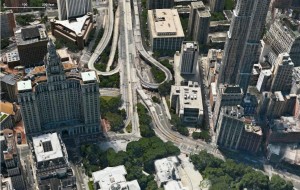
- BEFORE: Aerial view looking over City Hall towards Brooklyn Bridge, with the New York Municipal Building on the left.
-

- BEFORE: Nassau Street, looking towards Beekman Street and the the Municipal Building.
-
- BEFORE: Whitehall Street, looking at the intersection with Broadway, looking south towards Bowling Green.
-

- AFTER: Beekman Street redesigned as a Slow Street. © 2017 Massengale & Co LLC, Rendering by Gabriele Stroik Johnson.
-

- AFTER: The extension of Bowling Green. © 2017 Massengale & Co LLC, Rendering by Gabriele Stroik Johnson.
Financial District Neighborhood Association District Plan PDF
Slow New York Editorials by John Massengale
There Are Better Ways To Get Around Town
New York Times Op-Ed
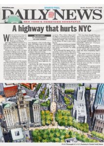
A Highway That Hurts The City
Online Title: “Buck the BQE”
New York Daily News Op-Ed
Whose streets? Our streets, not cars’:
A post-COVID lesson for NYC
New York Daily News Op-Ed
15 Years Later and Whaddya Get?
A Lot More Cars and a Planet in Flames
Common Edge
We Can Have Nice Things…
Once We Get Rid of King Car
Streetsblog New York City
(additional photos)
New York City Is Failing Its Citizens on the Environment
City Limits
Confessions of a Recovering Traffic Engineer
Common Edge
An Open Letter To DOT Commissioner Rodriguez on Eve of #FixCanal Workshop
Streetsblog New York City
‘Open Streets’ Must Lead to Permanent Changes in Our City
Streetsblog New York City
Let’s Build a Network of ‘Quiet Streets
Streetsblog New York City
Congestion Pricing is Just One Step Toward Reclaiming City Streets
City Limits
To Stop Pedestrian Deaths NYC Must Change How it Builds Streets
City Limits
A Street Is A Terrible Thing To Waste
New York Council of Mayors Municipal Bulletin
Occupy Broad Street
There Are Two Types of Architecture
New York Times Op-Ed
A Highway That Hurts The City
Online Title: “Buck the BQE”
New York Daily News Op-Ed
Whose streets? Our streets, not cars’:
A post-COVID lesson for NYC
New York Daily News Op-Ed
15 Years Later and Whaddya Get?
A Lot More Cars and a Planet in Flames
Common Edge
We Can Have Nice Things…
Once We Get Rid of King Car
Streetsblog New York City
(additional photos)
New York City Is Failing Its Citizens on the Environment
City Limits
Confessions of a Recovering Traffic Engineer
Common Edge
An Open Letter To DOT Commissioner Rodriguez on Eve of #FixCanal Workshop
Streetsblog New York City
‘Open Streets’ Must Lead to Permanent Changes in Our City
Streetsblog New York City
Let’s Build a Network of ‘Quiet Streets
Streetsblog New York City
Congestion Pricing is Just One Step Toward Reclaiming City Streets
City Limits
To Stop Pedestrian Deaths NYC Must Change How it Builds Streets
City Limits
A Street Is A Terrible Thing To Waste
New York Council of Mayors Municipal Bulletin
Occupy Broad Street
There Are Two Types of Architecture

Slow New York Articles by Others
Dave Colon, “FiDi Shared Streets Advocates Press DOT to Show ‘Urgency’ on Neighborhood Makeover,” StreetsblogNYC, July 1, 2022.
Streetsblog, “TO END THE MESS: Make the Brooklyn Bridge Car-Free.” StreetsblogNYC, July 9,2020.
Carl Glassman,”Putting Pedestrians First in FiDi? City’s Search for Answers to Start Anew,” Tribeca Trib, August 12, 2022.
Ben Verde, “Group Calls for Amsterdaming Most of Lower Manhattan,” StreetsblogNYC, March 19, 2019.
Carl Glassman,”‘Pedestrian Priority’ Streets for Lower Manhattan? City Will Look Into It” Tribeca Trib, May 11, 2019.
Transportation Alternatives, “New York’s Next Generation,” Reclaim, Fall 2014, pp 12–15.
Transportation Alternatives, A New Vision for Queens Boulevard, 2014.
Neil Vigdor, “Street Smarts, How and why John Massengale is trying to make New York City streets safer and more enjoyable,” Taft Bulletin, Fall, 2018.
Financial District Neighborhood Association Articles